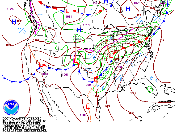
There is a lot of talk about Tuesday and severe weather across the region. One thing absent from the conversation is the work bust. I have not heard anyone talk about a bust. While that is no guarantee of severe weather, it does give all forecasters more confidence.
So how will this play out?
First, this system and the system to follow at the end of the week will deliver a good soaking. Rain totals from 2 to 4 inches seems with isolated higher amounts seem quite reasonable. The ground is already saturated and new rain will case minor flooding and standing water. Farmers will not be having an early planting season.
Severe weather will be in two main phases on Tuesday. A warm front will move north across the state. This should provide the trigger for the first round of initiation for severe weather. The question is how strong is the cap. While better tornado parameters are south/southwest of here, they have a stronger cap. We have less inhibition so we might be more favorable.
The first severe will likely feature more isolated supercells with strong potential to produce tornadoes. These should pop first to our west in Illinois so there will be some warning. Anytime after 3 or 4 PM should be watched carefully.
The second round will a west to east squall line with embedded supercells. While straight line winds will cause widespread concern, nocturnal tornadoes after midnight will be a significant concern.
Both waves will feature large damaging hail, lightning and as highlighted before, rain.
The threat is very real and hopefully there was a bit of a wake up call this past weekend with 240 tornadoes across the south with 44 deaths. Mother nature has several rounds of serious business for us the next two weeks.
I cannot stress enough the importance of a weather radio. Supplement that with with text alerts to your cell phone using a service such as Cell Warn or Weather USA which are free or my personal favorite of Storm Now which is $2 per month.
I will do updates tomorrow as needed and plan to have a careful watch on the system and evolution. As always, my forecast will be mainly for Kokomo and Howard County.


No comments:
Post a Comment